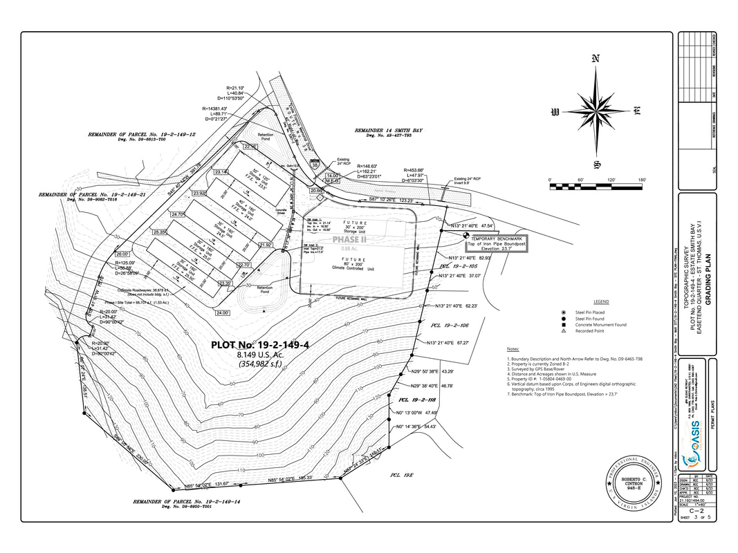
Smith Bay Topographic Survey
Existing-condition and elevation mapping for property evaluation and design.

A representative sample of the technical work contained in the original website export.
Existing-condition and elevation mapping for property evaluation and design.
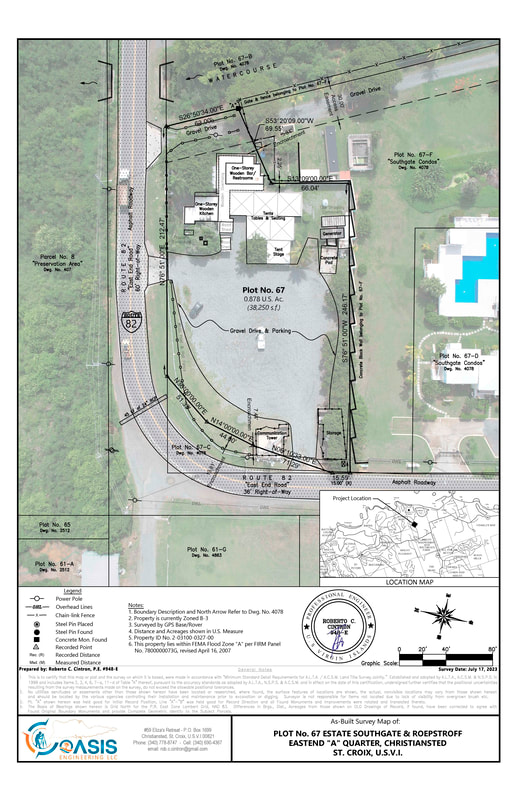
Integrated property and improvement documentation with aerial context.
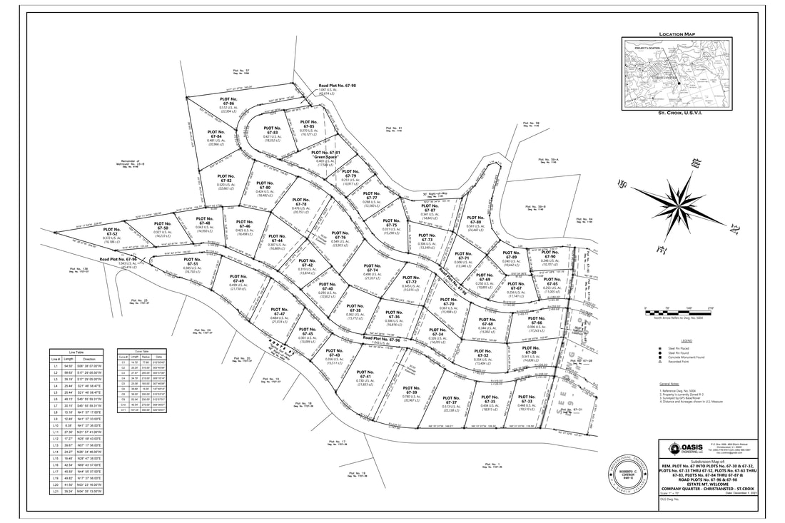
Multi-lot cadastral layout and subdivision documentation.

Physical marking and field verification of property corners.

Consistent technical presentation and direct professional accountability.

Design & permitting of construction plans including Stormwater Pollution Prevention Plans (SWPPP), Earth Change Permits & Zoning Certification Letters.